Aerial Photography

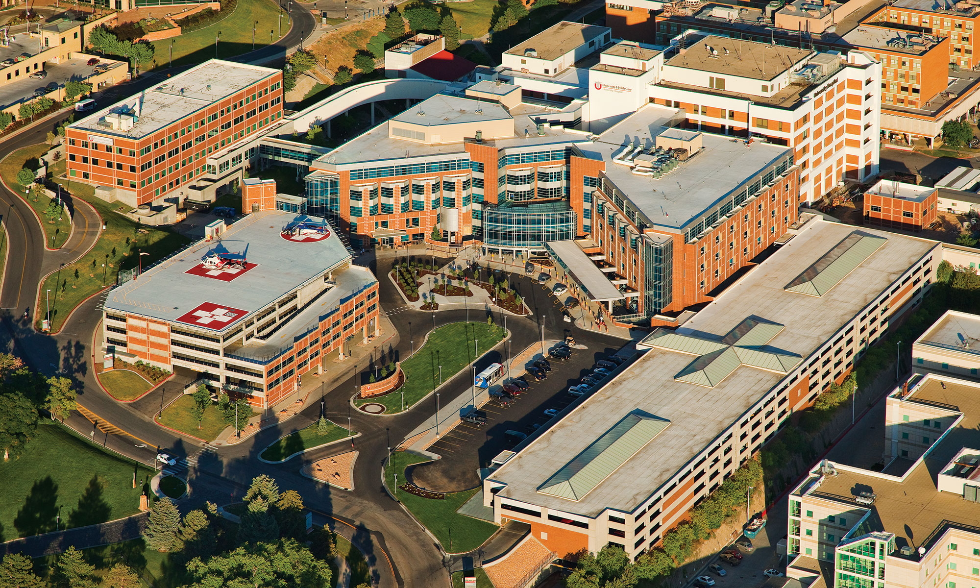
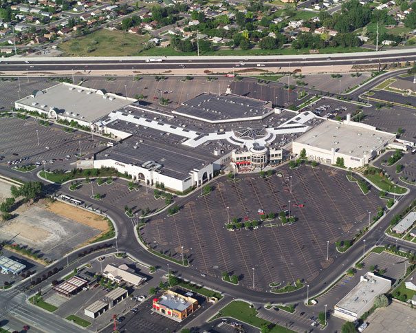
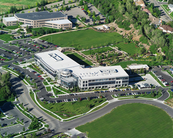
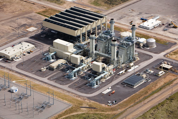
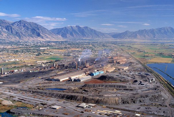
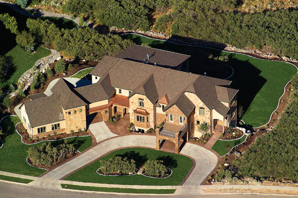
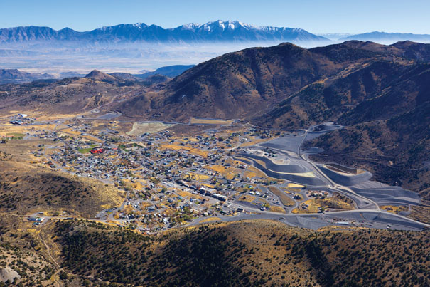
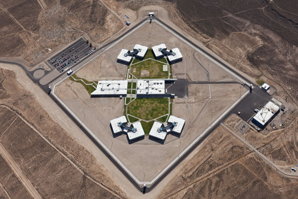
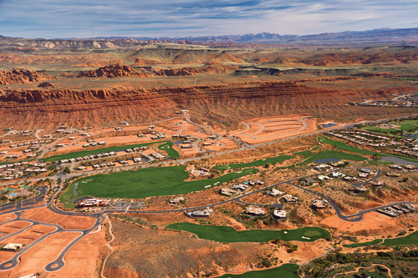
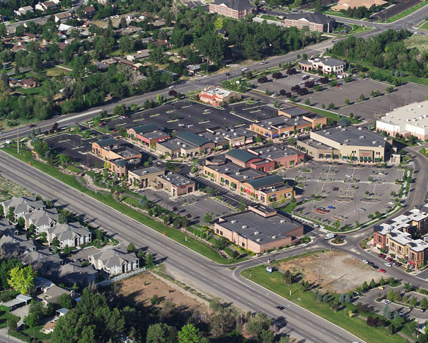
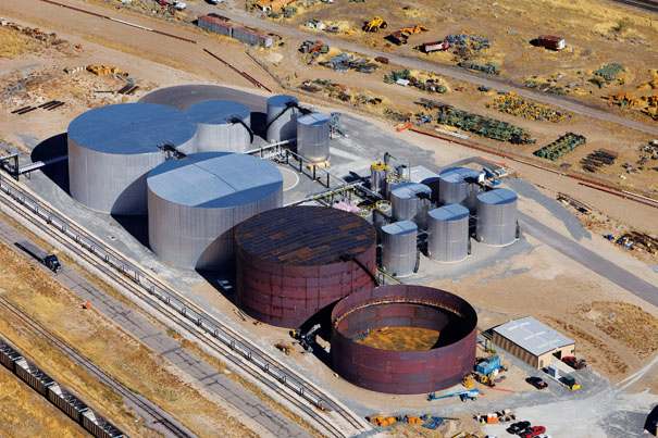
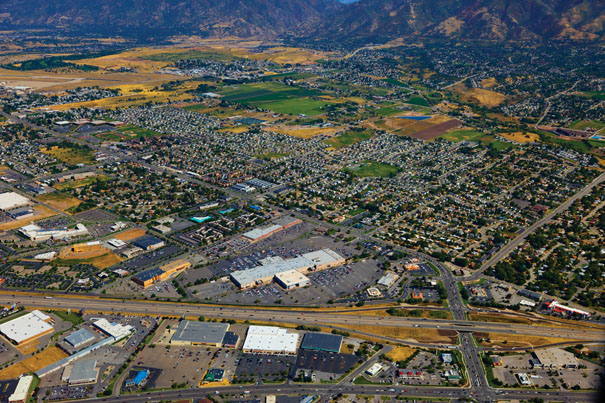
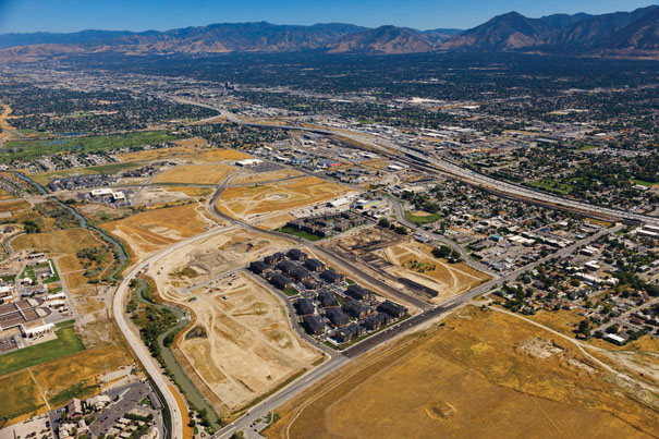
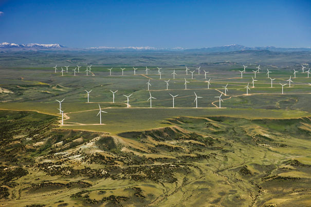
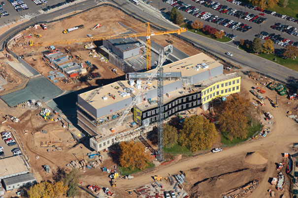
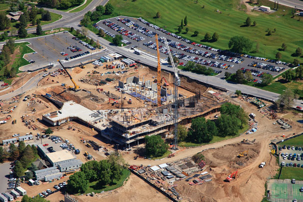
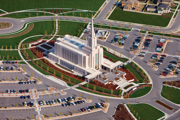
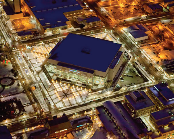
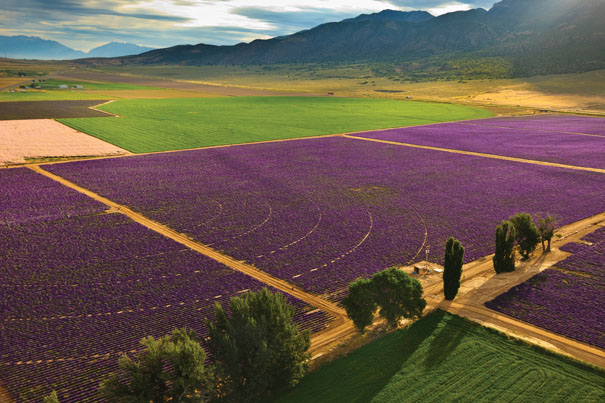
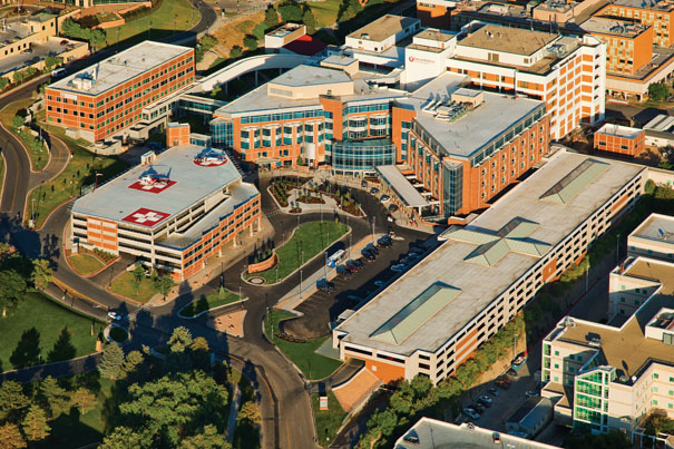
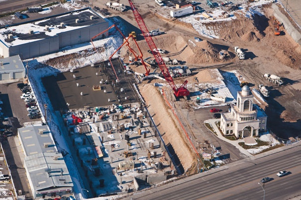
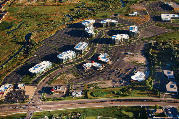
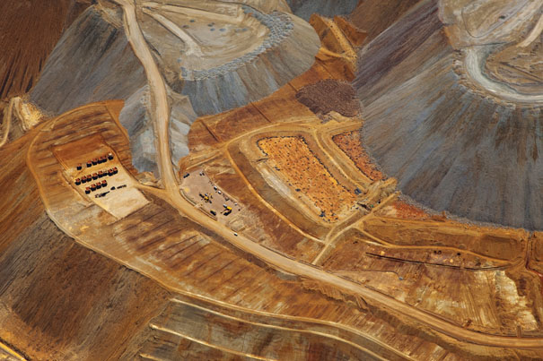
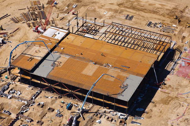
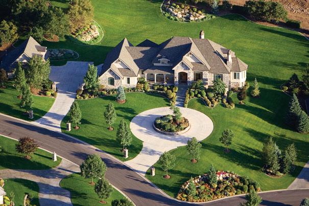
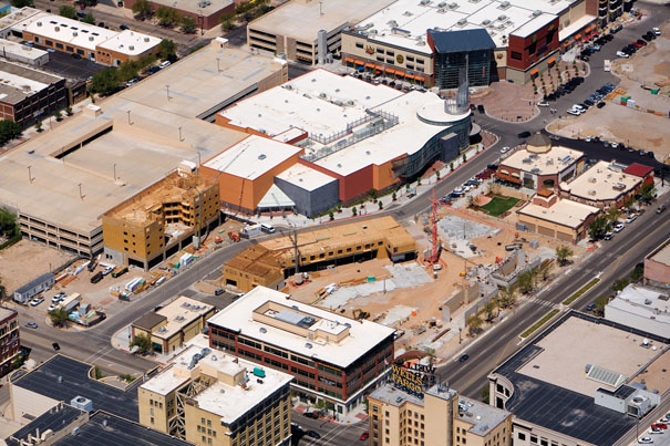
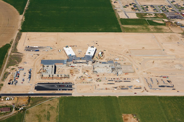
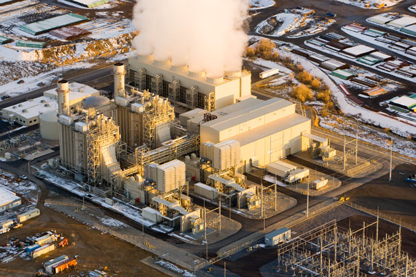
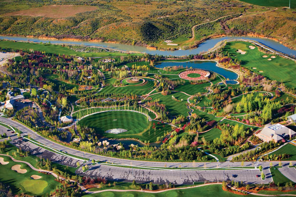
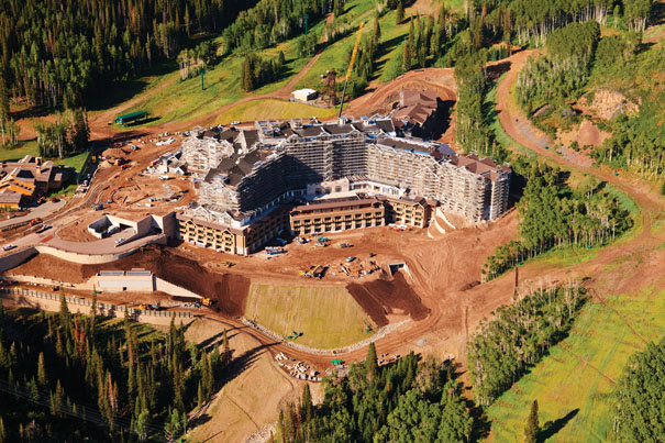
Oblique aerial photography (elevated, angled) images are perfect for many applications including industrial, residential, transportation planning and patterns, commercial real estate, construction progress, legal and forensic, tourist and local interest, environmental, roofing, pictorial, and many more. Oblique images are used to show everything from proximity to local landmarks and transportation access, to detailed shots of construction progress or stunning panoramas of scenic areas. With two FAA licensed Commercial and UAS (drone) pilots on staff, we can provide the best platform for your site, whether it’s from our airplane, a helicopter, or a drone.

Provo Town Center Mall
Tahitian Noni Building
Power Plant
Power Plant
Geneva Steel
Geneva Steel
Private Home
Private Home
Eureka City
Eureka City
Ely State Prison
Ely State Prison
New developlment near snow canyon
Riverwoods Mall
Riverwoods Mall
Storage Tanks
Storage Tanks
Shopping Center
Shopping Center
Ustar Construction
Ustar Construction
San Moritz Apartments
Windmill Farm
Windmill Farm
USTAR
USTAR
Ustar
Ustar
Oquirrh Mountain Utah LDS Temple
Energy Solutions Cente in Salt Lake City at night
Lavender at the Young Living Farm
University of Utah Medical Center
Tower Development
Tower Development
River Park Corporate Center
The Bingham Copper Open Pit Mine
Skanska
Skanska
Mapleton homes
Mapleton homes
Downtown Ogden
Downtown Ogden
High School Construction
Power Plant
Power Plant
Thanksgiving Point
Thanksgiving Point
Hotel under construction at Deer Valley
Previous
Next
Click here to view our Oblique Photography Gallery


Follow the links below for more Aerial Photography Services

Vertical (mapping)

Aviation and Air-to-Air

360° Panoramas

Architectural Photography


Leave a Reply

Your email address will not be published. Required fields are marked *